

Week 1, Puzzle
To win this week solve the crossword hidden phrase.
Charleston Scavenger Hunt
August 2025
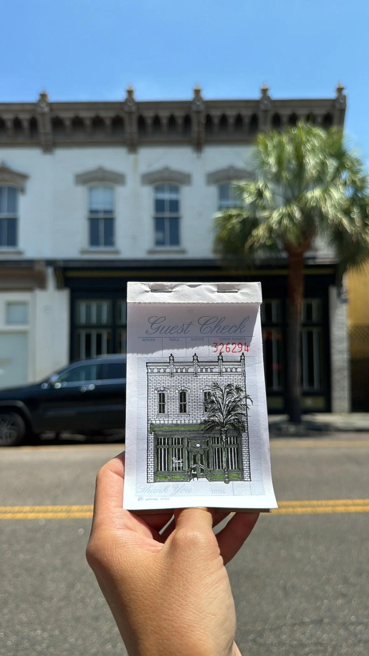
Each August I place guest check drawings throughout the city in a scavenger hunt style. I share clues throughout the week then on friday you are free to go looking (if you know where to go) The art is free. Some weeks require a ticket entry. Last year the Terrace was a location and everyone who submitted a movie ticket stub to me was entered into the raffle. August 2025 has 5 Fridays for scavenger hunt! Keep watching the stories to stay in the know about weekly clues.
Previous Locations
Off Track Ice cream
Terrace Movie Theatre
Daps Breakfast
Bar Rollins
The Rarebit
Hampton Park
Chico Feo
Royal American
Babas on Cannon