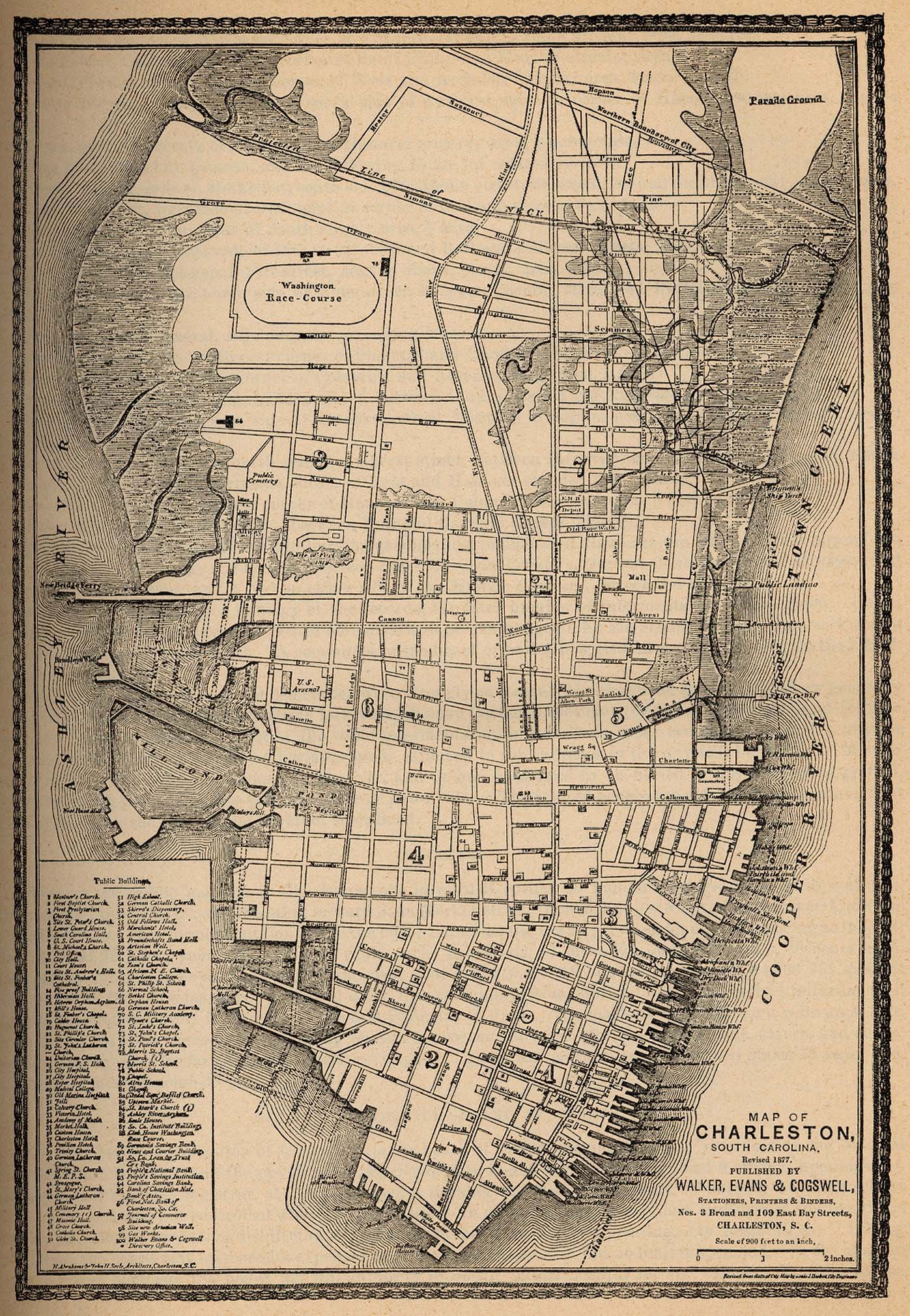
Mappings
A collection of maps cataloging the histories; past and present of Charleston’s landscape. By comparing the earliest maps to the most contemporary it is clear that the natural boundary of water and land is being reclaimed by the rivers, marshes, and the ocean. The landscape of Charleston has experienced infilling since its colonial conception and today the city is feeling the water reclaim its proper place. Despite the efforts of engineers, the water keeps rising.
These maps are used as clues for the August scavenger hunt, become familiar with them before the hunt begins.